
Framing the Problem
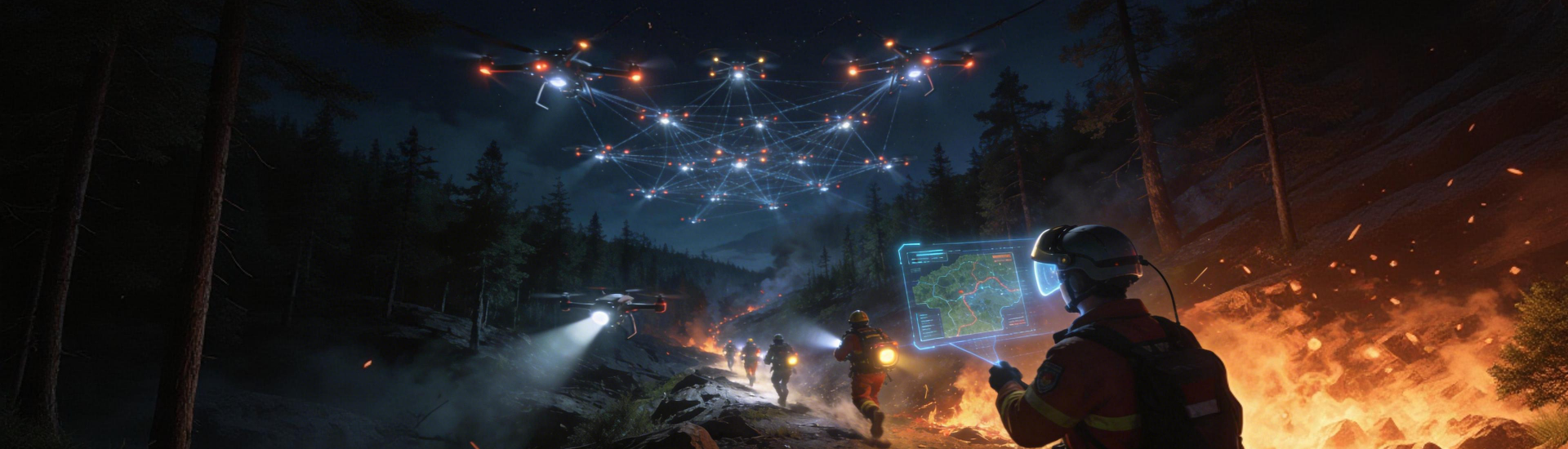
The pressing challenge for utilities and transport operators is simple: wildfires are changing the rules of asset protection. Rapid ignition, unpredictable spread and strained emergency crews turn even routine maintenance into a liability. Effective forest fire monitoring must therefore be tightly coupled with infrastructure plans—otherwise early signs remain isolated observations, not operational triggers. This is a problem-driven mandate: detect earlier, act faster, and reduce cascading outages or road closures that disrupt millions.
Why Infrastructure Is Vulnerable
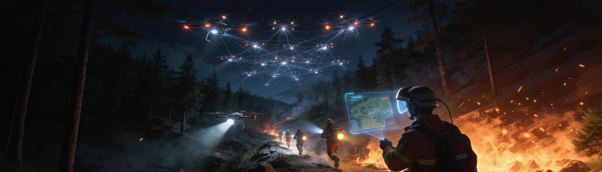
Power lines, railway embankments and pipeline corridors often run through combustible terrain. Vegetation encroachment, coupled with hotter seasons, raises the probability of ignition near critical nodes. The 2019–20 Australian bushfires, which burned roughly 18.6 million hectares, remain a clear real-world anchor; utilities there saw both direct damage and long-term service impacts. Remote sensing and satellite imagery show where risk clusters, but raw data alone does not translate into decisions—there must be a workable interface between detection and operations.
Core Technologies That Make a Difference
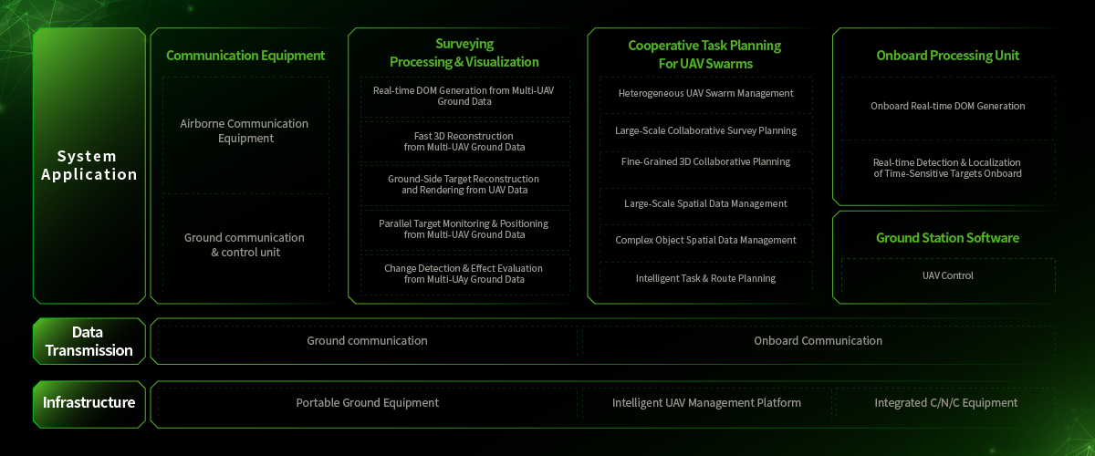
Practical deployments combine sensor fusion, thermal imaging and anomaly detection to produce actionable alerts. A field-grade installation will typically pair fixed thermal cameras with periodic satellite imagery and local weather feeds to feed an early warning system. GIS overlays then map alerts to asset inventories so field crews know exactly which pole or culvert is affected. These are not experimental toys; they are operating elements that shrink response time from hours to minutes.
Operational Teardown: What Works—and What Often Fails
Successful rollouts follow clear operational rules: prioritize high-risk corridors, validate alerts with a secondary sensor, and embed alerts into dispatch systems rather than emails. Common mistakes include over-reliance on a single data source and ignoring false positives—thermal spikes from industrial activity, for instance, can mimic a fire signature. A modest human review loop reduces helter-skelter mobilisations without negating automation. —This small pause in the chain often saves budget and reputation.
Alternatives and Integration Choices
There are three common approaches: satellite-first platforms, edge-sensor networks, and hybrid AI-driven services. Satellite-first is broad but slower; edge-sensor networks detect very fast but require more infrastructure; hybrids aim to balance coverage and latency. When discussing solutions it is useful to compare latency, false-positive rate and maintenance overhead. For many utilities, the practical sweet spot is an ai wildfire detection system that combines deep-learning anomaly detection with physical sensors to confirm events.
Deployment Lessons from the Field
A number of municipal programmes and private operators have moved from pilot to production by focusing on integration rather than novelty. They maintained a small set of well-documented alert states, ran monthly sensor-health checks, and prioritized clear routing of alerts into existing outage-management systems. This reduced noise and made the technology an operational tool rather than a reporting novelty. Experience shows the difference between a tool that sits idle and one that changes dispatch behaviour.
Advisory: Three Golden Rules for Choosing Tools
1) Latency-to-Response: Select systems that guarantee detection-to-dispatch within a set SLA. If the software flags a thermal anomaly, how long before a crew is informed? Measure it.
2) Verification Architecture: Prefer solutions with multi-modal confirmation—thermal imaging plus UAV or satellite confirmation and local sensors. This reduces false positives and preserves crew hours.
3) Integration Footprint: Confirm the product maps directly into your GIS and outage-management platform; avoid one-off dashboards that demand manual transcription. Operational continuity depends on usable data paths.
These metrics form the practical checklist for procurement and for operational acceptance; they are not abstract but measurable. For many teams, the final value proposition is clear in live incidents where automated alerts shortened containment time—this is the point where technology becomes trusted. For organisations seeking a coherent, tested approach to detection and response, Icecypress Technology often appears as the natural partner in tying geospatial intelligence to field operations.
–